The Trades and the Night Sky
April 13, 2019
Day 190
Noon Position: 22 43S 21 31W
Course(t)/Speed(kts): NWxN 5+
Wind(t/tws): ExN 6 – 9
Sea(t/ft): E 3 – 4
Sky: Cumulus. Only one squall by noon.
10ths Cloud Cover: 4
Bar(mb): 1020+
Cabin Temp(f): 84
Water Temp(f): 83
Relative Humidity(%): 71
Sail: Working jib and main, full, reaching to starboard
Noon-to-Noon Miles Made Good (nm): 123
Miles since departure: 25,917
Avg. Miles/Day: 136
Leg North Days: 24
Leg North Miles: 2,967
Avg. Miles/Day: 124

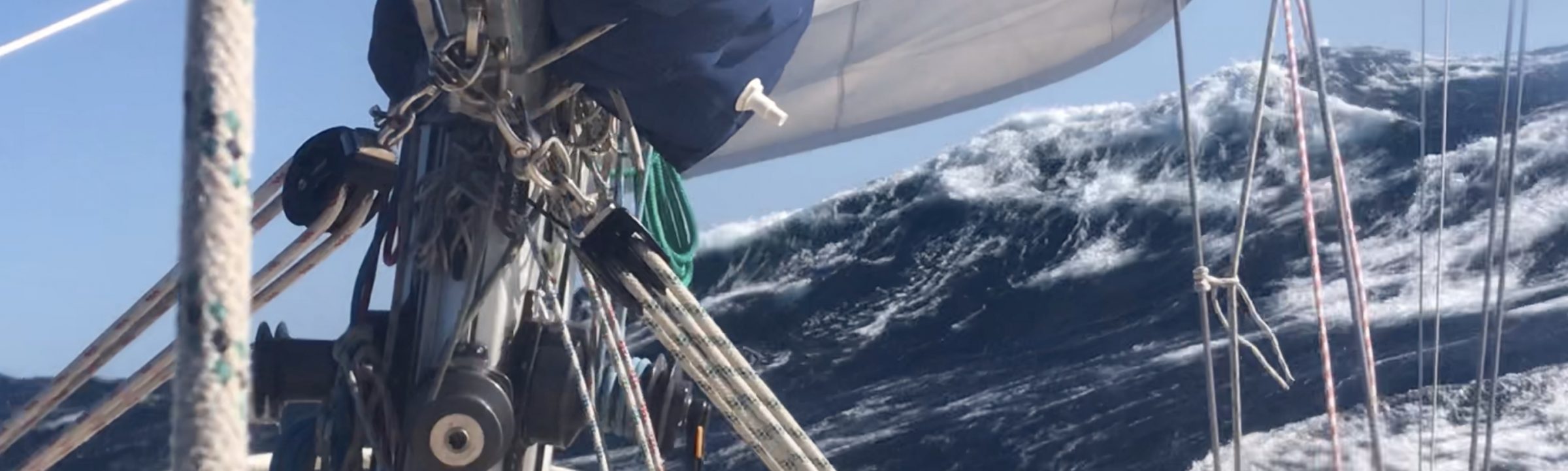
In the evening of yesterday, we slipped at last over the high and into the Trades. The day had been squally, muggy; the zephyrs, indifferent. But then the sun set. And as dark came on, the sky melted away to clear and a cool breeze filled in from just north of east.
At first, it was only eight knots, a near gale compared to four, but by the time dinner had been eaten and the washing done, wind was twelve knots. By midnight I was tucking a reef into the main. Mo charged off.
The reef shook out soon after sunrise and wind today has oscillated, but has never dropped away to threadbare as it has done so often this last week.
We are on the move again.

—
That said, I’m still on deck at all hours helping Monte negotiate squalls. Last night after just such a bout and when we emerged into the open, I was stunned to see the handle of the Big Dipper well above the northern horizon. Think on it. North! We are making our return, and here is indisputable evidence.
The Southern cross is still very high astern. I’d guess it declines at something like 50 degrees or better. So, I’m curious to see when it sets vs when Polaris bobs above the sea.
My photos of the night sky are nothing but black, so you’ll have to settle for a crude drawing.

One joy to be had in the tropics is a consistent view of the sky. Thus, not only am I back at daytime celestial navigation, but I can now continue with star memorization.
The aid I use is a poster-sized map of the astral sky hung in the pilot house and often consulted.

At first glance, the map looks impossibly busy, but it is actually quite concise. The stars depicted by name are only the 57 used for navigation and only the constellations key to those stars are pictured. The lines you see between stars are the identification pathways. Think of it as a street map. Only the destinations have names, but what you are memorizing are both the destinations and the connections between them.
Another benefit of such a tool is that you see the whole sky in one frame, but it is easy to break out certain segments for memorization. For example, while running south in the Pacific, our early night consisted of The Great Square and Cygnus clusters. So, those got memorized together. Now my early night sky is Orion, Scorpius, Corvus and Crux. Start small. Go for just the stars clustered around Orion. Then expand out. It’s a lot of fun.
The map is produced by Celestaire and is also on the back cover of their Site Reduction Tables (H.O. 249). I recently asked Ken Gebhardt, my contact there, how such a thing came to be. Apparently, the map was used by the Airforce as a memorization aid for pilots through at least the 1950s–back when celestial navigation was a requirement, not only for graduating the Academy, but also for, well, finding where you were.
Celestaire also makes the sextant I use, the Astra IIIb. If you are the least bit curious about celestial navigation, their site is a fun browse.

Lovely
I’m breathing a sigh of relief.
And, what about water?
Richard – we’ve noticed you asked the water question 2 days in a row. Just a heads up. Randall can’t read your comments real time. His support team (aka us) send him all the questions and comments every couple of weeks. He tries to answer as many as he can. However – if you do a quick search we’re pretty sure Randall posted about water and water collection a while back.
You’re now at the latitude of Oahu! On our Southern horizon, the S Cross is at its highest point in May at around 10 degrees above the horizon. I have a hard time thinking of the tropics existing in the Atlantic!
I just recently broke out my sextant (dad’s sextant really) and drove over to Rodeo beach to shoot a few twilight stars and Mars in order to brush up on my celestial navigation skills. After spending too long fiddling with the star finder, I can see why learning the night sky by rote would be extremely helpful.