Getting Around the Figure 8, Part I

Here we consider the first of several big issues impacting the success of the Figure 8: Mileage and Timing.
The Figure 8 Voyage consists of two distinct segments, a longish ocean cruise through the Pacific, Southern and Atlantic Oceans, and a tight, harbor pilot’s squeeze through the very constricted waters of the Northwest Passage. Strategies for these two are so different that I’ve considered them separately.
Using OpenCPN (free, online chartplotting) I’ve worked up both routes to a high degree of accuracy and the total distance for the Figure 8 comes out to … drum roll please … roughly 40,000 nautical miles. Think San Francisco to New York; now repeat nearly ten times. Compare the circumference of the earth at the equator: a mere 26,000 miles.
Those two routes are captured in the following graphics.
The first is all “blue water” sailing. From San Francisco I shape a course south through the Pacific, jogging a bit east above the line so as to gain some purchase against the southeasterly trades below. Having rounded the Horn, I quickly climb back to the 40th parallel where weather should be less severe and where I will attempt to spend the majority of the Southern Ocean passage. Having rounded the Horn for the second time, I begin to work up the Atlantic, staying west of both the south and north Atlantic high pressure systems before entering the arctic circle to the west of Greenland at 66.5 degrees north latitude. This routing is based entirely on prevailing wind patterns in particular quadrants of ocean at particular times of year (more below).

If the above is concerned with navigating large weather patterns over huge stretches of ocean, the Northwest Passage is an exercise in pilotage. Here wind patterns matter little if rocks get in the way, and so I have based this segment entirely on what is now called the Amundsen Route, named for the previously-mentioned explorer who first completed it. In fact, this is only one of several possible waterways through the arctic, but for planning purposes it is a worthy place holder because it is the longest route, and it is, historically, the most likely to be passable in any given year.
This approach hugs the Greenland coast to about 75 degrees north latitude due to extrusions of ice from Baffin Island in summer before passing into Lancaster Sound and then Barrow Strait. Here the course moves sharply south into Peele Sound and then Franklin and James Ross Straits before resuming a westerly course in the very restricted waters just above mainland Canada and then the potentially more open waters of the Beaufort and Chukchi Sea, exit Aleutians near Unimak Island.

The distance of the Figure 8 is precisely known. My careful plotting of these two segments sums to exactly 37,726 nautical miles. But I have used the word “roughly” above because though try as I may for conceptual precision, the watery world will most certainly intervene.
One example among many: surface winds upon the larger ocean, winds a sailboat requires for its daily motivation, blow in grand, mostly predictable patterns of direction and velocity. Since the 19th century these winds have been observed, recorded, catalogued and published in wonderfully intricate, absolutely beautiful documents called Pilot Charts (I’ve used Cornell’s Ocean Atlas, by Jimmy Cornell).

These charts are summaries of wind and current behavior over every quadrant of every ocean for every month of the year. They are the brain child of Lt. Matthew Fontaine Maury of the U.S. Navy who realized, in 1842, that decades of ship’s logs stored in Navy archives contained valuable information on ocean weather that could be compiled into weather charts. More recently cruiser and regatta organizer Jimmy Cornell has put these charts to extensive revision using satellite weather data.
As good as these charts are (they are the Holy Grail of route planning), wind where you are at any given moment can blow from anywhere. To their credit, the Pilot Charts attempt to account for this, but sailor’s logs from time immemorial are filled with diatribes against the blasted charts for winds behaving badly and blowing them off course. Upshot: even a carefully planned course planned is not necessarily that will eventually be sailed.
I have sought to anticipate these vagaries of wind (and current and wave and rig failure and captain error, etc.) by modeling several possible results. What if my mileage is 5% under plan or 10% over; or 20% over?
The result looks like this.

Of course, if the distance traveled varies, so will the time required to travel it.
One unique feature of this voyage is the need to arrive at the entrance to the Northwest Passage (in this case, the eastern end of Lancaster Sound) at a particular time. The northern summer is intense but short. In a typical year, ice thaws into leads and then clear water, if at all, for as little as a month. The wise cruiser attempting an east to west transit of the Arctic will want to be in position by the beginning of August and hope the passage opens by mid-month because ice will begin to reform at these latitudes as early as mid-September.
That’s in a typical year, of which there is no guarantee. In 2011 and 2012 conditions were right for a passage of this kind, but in 2013, the arctic ice did not thaw uniformly, and in key places it failed to melt at all or refroze early. As many as 20 yachts transiting the Northwest Passage were trapped in the ice.
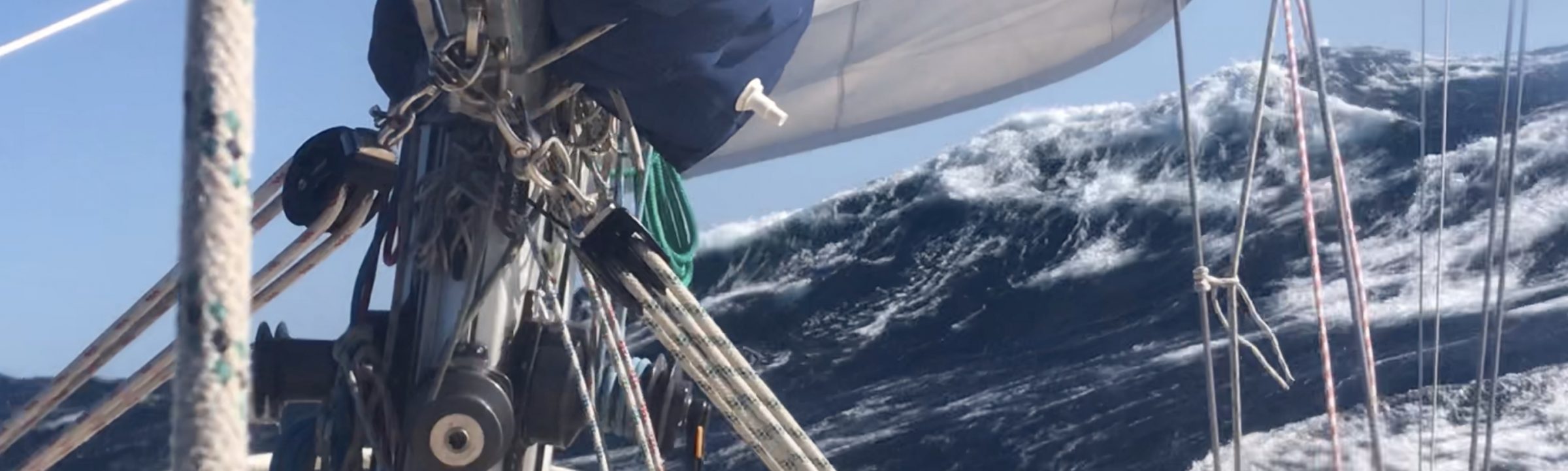
Another timing I will want to pay close attention to is that demanded by the heavy weather in the Southern Ocean, specifically as the route requires two roundings of dangerous Cape Horn. Looked at from the South Pole, the Southern Ocean is a big, watery donut surrounding Antarctica and bordered to the north by South America, South Africa, Australia and New Zealand. Its reputation for storms and massive waves (not to mention cold and the occasional iceberg) is nothing short of legend. Small boats passing through these waters should position their arrival and departure for the height of summer (November/December/January) when gales are at a minimum.
Given the difficulties of predicting day-to-day wind and weather at sea, it is highly unusual for sailors to plan an ocean passage with the idea of arriving at a particular place at a particular time. In fact, for many, it’s the open-endedness of such journeys that provide much of the charm. All this means that for the Figure 8 I will need to pay close attention to the boat, not only its sea-keeping abilities, but also its speed. These are considered in some detail in the next post.