It’s Even Money
July 29
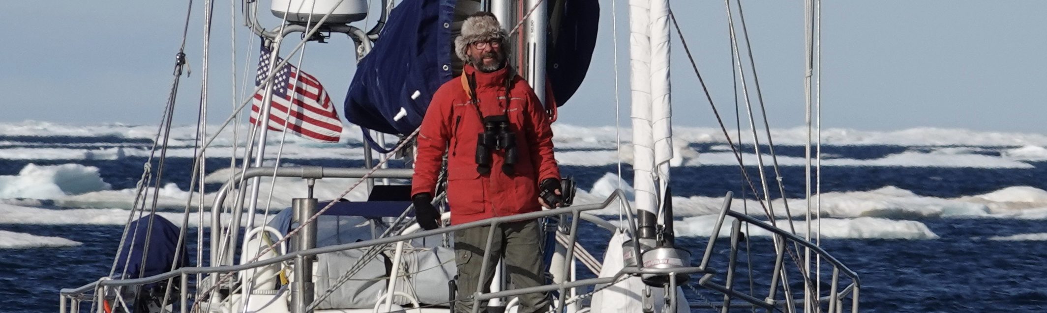
Day three of our crossing of Baffin Bay to the Canadian Arctic.
We are 230 miles west of Upernavik as I write and Arctic Tern is steaming on a glassy sea, making (currently) for the Bylot Island coast, 130 miles further on. I say “currently” because Les and Ali are weighing our options for both where to enter the Northwest Passage (via Pond Inlet or Lancaster Sound) and where to get next fuel. These decisions are intertwined and impactful. Here are some of the factors.
1. Distance. It’s roughly 3,000 miles from Pond Inlet in the east to False Pass in the Aleutians and escape into the Pacific. The route is long, often shoal infested, and some has no soundings at all (imagine a chart whose water is just white space, no depths). Safe pilotage requires great care, and then there’s the issue of
2. Season Shortness. In a typical year, pack-ice in the arctic begins to break up in middle to late July and can start to refreeze before the end of September, giving an explorer about two months to get from one end to the other. We need to get a wiggle on. No big deal, except that
3. Unevenness of Thaw. The dispersal of pack-ice is far from consistent across the entire run. Much of it doesn’t thaw, but rather breaks up and is pulled out to sea. Passages between the islands are narrow; currents or storms can clear the way ahead while blocking a retreat. What was open yesterday may be closed a few hours from now. Imagine logs flowing through a jam. Add to this
4. Fuel Requirements. Winds in Arctic summer are undependable, are usually light to calm with the occasional gale. Motoring is to be expected. Given the distances and the probable need to backtrack if one’s path is closed by ice, most small yachts like Arctic Tern require a number of fuel stops. Between Pond Inlet and Cape Bathurst (1600 miles) there are five villages where diesel can be taken aboard, but several may require significant deviation from one’s desired route. Realistically, only two or three are usable, and there is no guarantee any will be ice free when called upon.
How does this all add up for us?
For several days Pond Inlet (closest fuel) and Navy Board inlet have been relatively ice free *except* at the elbow and the village. Only today has a sliver of water opened in front of the village. We might be able to enter Pond for fuel but instead of exiting Navy Board, we’ll have to backtrack to enter Lancaster Sound from the east. Lost miles and time.
If we skip Pond and enter at Lancaster Sound, our next fuel stop at Arctic Bay is 80 miles down a dead-end. It appeared to be clearing days ago, but is now impacted; what’s more, ice is flowing down south Lancaster and partially blocking the entrance. Assuming we can enter and *can* get to the village, our long return to Lancaster might be much delayed.
Resolute, above Peele Sound, a further 170 miles, is hopeful but dangerous; it’s an open roadstead that’s famous for roving ice. Moreover, if we arrive to find it closed, we might not have the fuel to return to either of the others, and we won’t have enough to continue on to Cambridge Bay.
Another option is to anchor somewhere east of all three and wait. But waiting, too, is dangerous.
We must have fuel. Where? Right now it’s even money.