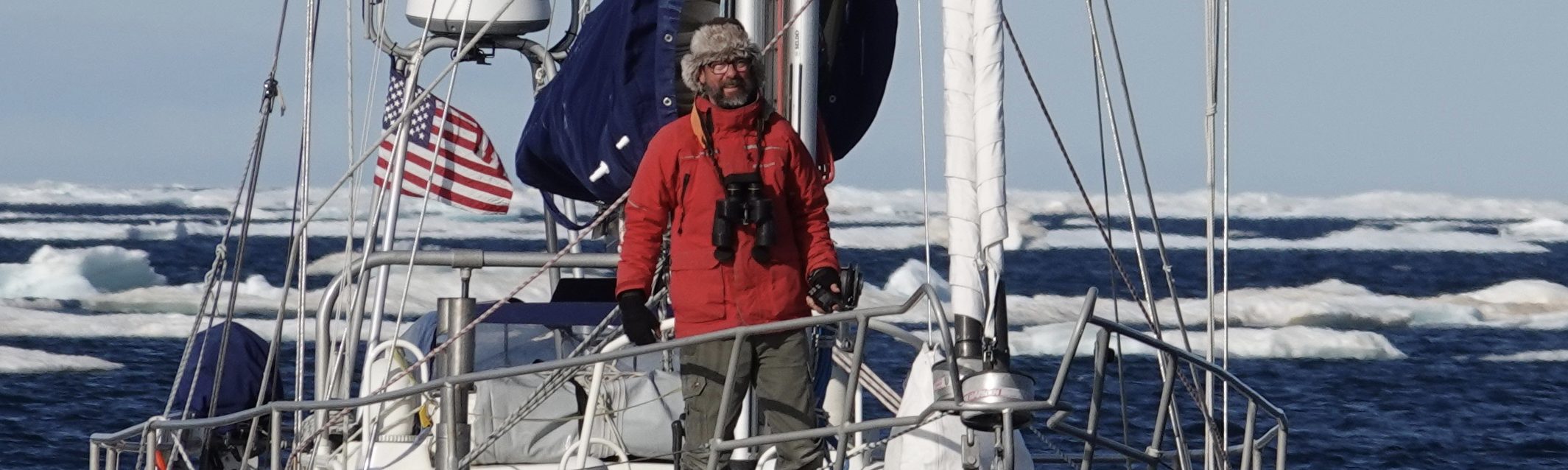
Routing Options: What Now?
May 12, 2019
Day 219
Noon Position: 21 52N 57 54W
Course(t)/Speed(kts): WxN 2.5
Wind(t/tws): ExS 4.5
Sea(t/ft): NE 8
Sky: Squalls
10ths Cloud Cover: 9
Bar(mb): 1023
Cabin Temp(f): 90
Water Temp(f): 81
Relative Humidity(%): 61
Sail: Twins poled, running.
Noon-to-Noon Miles Made Good (nm): 108
Miles since departure: 29,520
Avg. Miles/Day: 135
Leg North Miles: 6,592
Leg North Days: 53
Avg. Miles/Day: 124

The sails began barking before dawn, the main in particular.
While there are many reasons to appreciate a fully battened main (which Mo has) the battens and cars put hardware aloft that slaps and bangs horribly in light airs. The main came down after morning coffee, and I tried to squeeze a broad reach out of poled out twins. They too just ground and ground in a breeze I could barely feel on my face.
The problem is not just light airs but a large swell coming down from the NE that’s catching us flat on the beam. We roll so heavily that the sails simply dump whatever small wind they’ve been able to gather up.
Saint John’s is still 2,000 north.
—
Back on May 4th, S/V Voyager commented “Watching your course I think you are heading straight for Nova Scotia. Can you give some insight to how far west you think you need to be?”
After exiting the doldrums at about 4N, I set a course for Bermuda with the idea of rounding it to the west or east depending on conditions when I got nearer. Pilot Charts suggest Bermuda’s position make it a natural way point and a kind of hub where prevailing east and southeast winds begin to veer south and then southwest. Rounding to the west would get us nearer the north-setting Gulf Stream but would mean going further west than St John’s requires. Cutting too far east of Bermuda risks getting becalmed.

A scan of the ten day forecast doesn’t really shed light on which is the better option. A huge area of calm is building between our current position, Bermuda and Florida which will then resolve into a line of high pressure running east / west and cutting off access to any northing anywhere near Bermuda.
I could turn due north now (700 miles south and east of Bermuda) and ride the western half of the North Atlantic High, but to be well above Bermuda this far east risks the full force of low pressure systems coming off the northeast US and would still not avoid the developing calm.
Also, staying within reach of Bermuda gives me a fuel option if the North Atlantic looks like it might go quiet for an extended period.
Which is a long winded way of saying that I’m not sure. Am continuing to trend toward Bermuda and we’ll play the weather we get.
Hey Randal, this is Fred here, Lavonna’s friend from Saudi….we met briefly there a few years ago….Emily and I live near Halifax now, on the Atlantic, and I see you’re passing past some time soon….it would be cool if you dropped by, but I know your plans are to dock in St Johns. Be that as it may, it would be nice to see you. Just as an aside, do you ever listen to music out there? If so, what?
Stay well!
Fred
Sir Randal, awesome weather awareness, or at least the forecast. You could give lessons to the weather channel “gurus” . You could maybe teach the great “Jim cantorie”, the “big gun” on the weather channel a few things!!! Stay safe sir. Best regards.